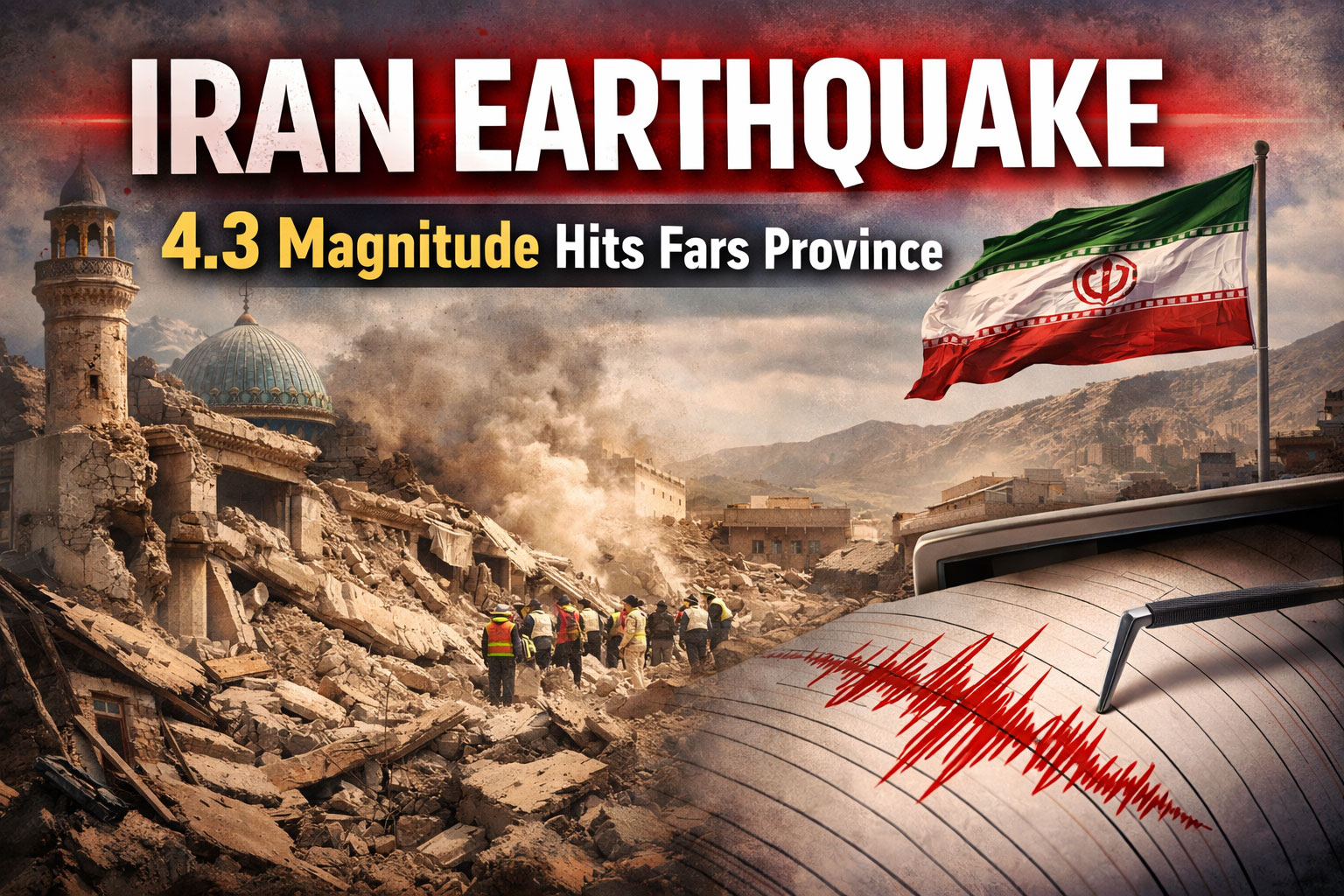
A recent Iran earthquake has once again drawn attention to the country’s seismic activity. On March 3, 2026, a tremor measuring 4.3 on the Richter scale struck near the city of Gerash in Fars Province, southern Iran. According to international seismic monitoring agencies, the quake occurred at a relatively shallow depth of around 10 kilometers, which made the shaking noticeable in nearby areas.
Although the Iran earthquake caused concern among residents, authorities confirmed that there were no immediate reports of casualties or significant damage. The event serves as a reminder that Iran lies in one of the world’s most earthquake-prone regions.
Details of the Recent Iran Earthquake
The latest Iran earthquake was recorded in a rural region north-northwest of Gerash. Seismologists noted that the tremor occurred during the morning hours, causing mild shaking in surrounding towns and villages.
Local officials quickly assessed the situation and confirmed that infrastructure and residential buildings remained largely unaffected. While the earthquake was moderate in magnitude, such seismic events often trigger anxiety among residents who are familiar with Iran’s history of destructive earthquakes.
Experts say that tremors of this magnitude are considered moderate, meaning they may cause slight shaking but rarely lead to severe destruction unless they occur near densely populated areas.
Why Earthquakes Are Common in Iran
The frequent occurrence of an Iran earthquake is largely due to the country’s geological location. Iran sits at the meeting point of several tectonic plates, including the Arabian Plate and the Eurasian Plate. These plates constantly push against each other, creating stress within the Earth’s crust.
When that stress is released, it results in earthquakes. This tectonic activity explains why Iran experiences hundreds of minor tremors every year, along with occasional powerful earthquakes.
Many of the country’s major fault lines run through populated regions, making seismic monitoring and disaster preparedness extremely important for public safety.
Global Monitoring and Scientific Research
Every Iran earthquake contributes valuable data for scientists studying seismic activity worldwide. Organizations such as the United States Geological Survey (USGS) and other international monitoring networks track earthquakes to better understand tectonic behavior.
By analyzing seismic waves, researchers can determine the earthquake’s magnitude, depth, and epicenter, which helps governments and disaster management agencies respond quickly.
Advanced technology now allows near-instant alerts, helping people receive earthquake information within minutes of an event.
Conclusion
The recent Iran earthquake in Fars Province serves as another reminder of the country’s ongoing seismic activity. While the 4.3-magnitude tremor caused only mild shaking and no reported damage, it highlights the importance of monitoring geological movements in this earthquake-prone region.
Iran’s location along major tectonic boundaries means that earthquakes will continue to occur. However, improved monitoring systems, public awareness programs, and emergency preparedness measures are helping reduce risks to communities.
For now, residents in the affected region remain safe, but experts will continue to closely observe seismic activity in the coming days.